Great Nebraska
Naturalists and ScientistsErwin H. Barbour, Badlands, Photographs
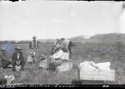
Squaw Canyon Camp
Original caption: “Camp visitors at Squaw Canyon” Vol. I, p. 38. Sioux County. (320101-03875)
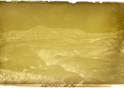
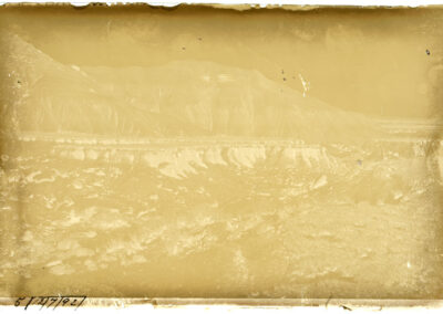
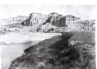
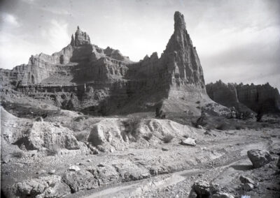
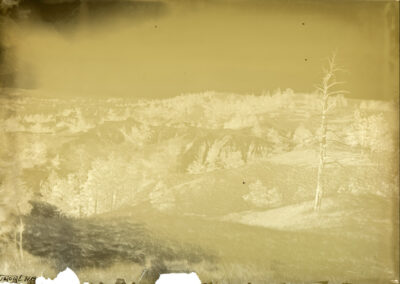
Badlands Near Squaw Canyon
Original caption: “Bad Lands five or six miles from Squaw Canyon” Vol. I, p. 38. Sioux County. (320101-03876)
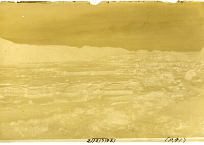
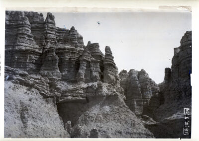
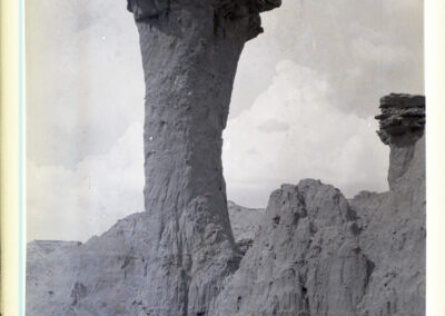
Mushroom Badlands
Original caption: “Mushroom Bad Lands, Adelia, Nebraska” Vol. I, p. 44. Sioux County. (320101-03877)
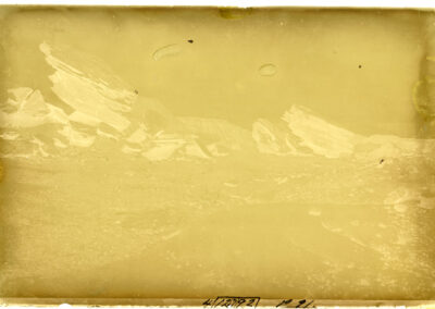
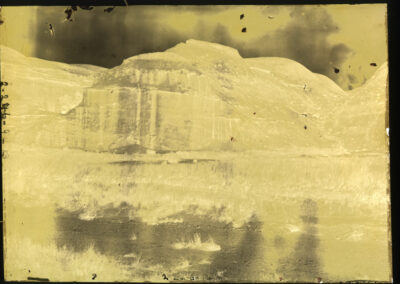
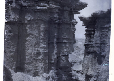
Badland Rocks
Original caption: “Rocks in the Bad Lands at Adelia, Nebr.” Vol. I, p.44. Sioux County. (320101-03878)
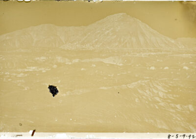
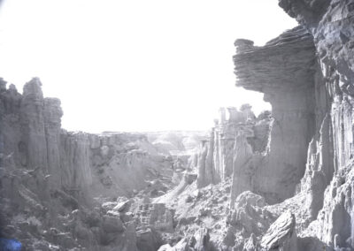
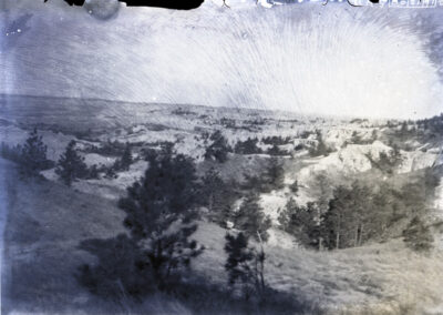
Badlands Around Adelia, NE
Original caption: “Bad Lands near Adelia, Nebr.” Vol. I, p. 44. Sioux County. (320101-03879)
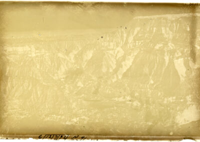
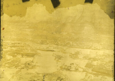
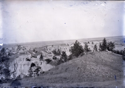
Bird’s Eye of Badlands
Original caption: “Bad Lands near Adelia, Nebr. Bird’s eye view.” Vol. I, p. 45. Sioux County. (320101-03880)
Hat Creek, Badlands
Original caption: “Hat Creek, Bad Lands, Butte and Eagle Nest.” Vol. I, p. 49. Fall River County, SD. (320101-03882)
Elotherium Crag
Original caption: “Titanotherium outcrop where Elotherium was found. Near view with Hawkeye, Elo. Crag. Field notes say “Elotherium Crag.”” Vol. II, p. 82. (320101-03883)
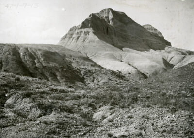
Colosseum Butte
Original caption: “Collosseum Butte, Upper Titanothere Beds. Butte near Corrall, S.D.” Vol. II, p. 18. Fall River County, SD. (320101-03884)
Clay Cliffs
Original caption: “Cliffs of clay and sandstone east side of bluff and creek, Corrall Draw.” Vol. II, p. 24. (320101-03886)
South Side of Sheep Mountain
Original caption: “Batch of Tables, south side, Sheep Mt.” Vol. II, p. 86. (320101-03888)
East Side of Sheep Mountain
Original caption: “East side Sheep Mt. Close view.” Vol. II, p. 86. (320101-03889)
Canyon on Sheep Mountain
Original caption: “Deep Canyon 60 ft. high. Sheep. Mt.” Vol. II, p. 47. (320101-03891)
Chapeau de Femme
Original caption: “Chapeau de femme, Big Bad lands, S.D. serrated top of west Sheep mt.” Vol. II, p. 37. (320101-03892)
Canyon in the Badlands
Original caption: “Bad Lands View” 4×5 neg. (same as 139, 2-221-11-03). (320101-03894)
Sheep Mountain Pinnacles
Original caption: “Sheep Mt.??, note on photo says negative lost.” Print: Vol. 2, p. 52 (320101-03895)
Lone Tree Canyon Pinnacles
Original caption: “Pinnacles north side Lone Tree Canyon 250-300 ft. ¼ way to summit” Vol. IX, p. 13. (320101-03896)
Natural Bridge
Original caption: “Natural bridge, Head Corral Draw head.” Print, Vol. 4, p. 19. (320101-03897)
View from High Table Lands
Original caption: “General view of Bad Lands from High Table Lands.” Vol. IV, p. 21. (320101-03900)
Titanotherium Red Beds
Original caption: “Titanotherium red beds” print: Vol. 2, p. 23. (320101-03901)
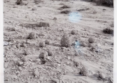
Badlands near the White River
Original caption: “Bad Lands, 2-3 miles east of White River.” Print: Vol. 7, p. 97. (320101-03902)
Badlands near the White River
Original caption: “Bad Lands, 2 or 3 miles east of White River.” Print: Vol. 7, p. 98. (320101-03903) Picture taken at the same location as 320101-03902.
Looking Towards the White River
Original caption: “Looking north toward the wall across White River, S.D.” Print: Vol. 7, p. 99. (320101-03904)
